Good Afternoon GIS folks!
Like we had mentioned in last week’s User Council meeting – Its that time of year again!
Most of you by now you have probably started the process of registering and getting internal approvals for the Esri User Conference if you plan to attend. Here are a few updates:
Agenda
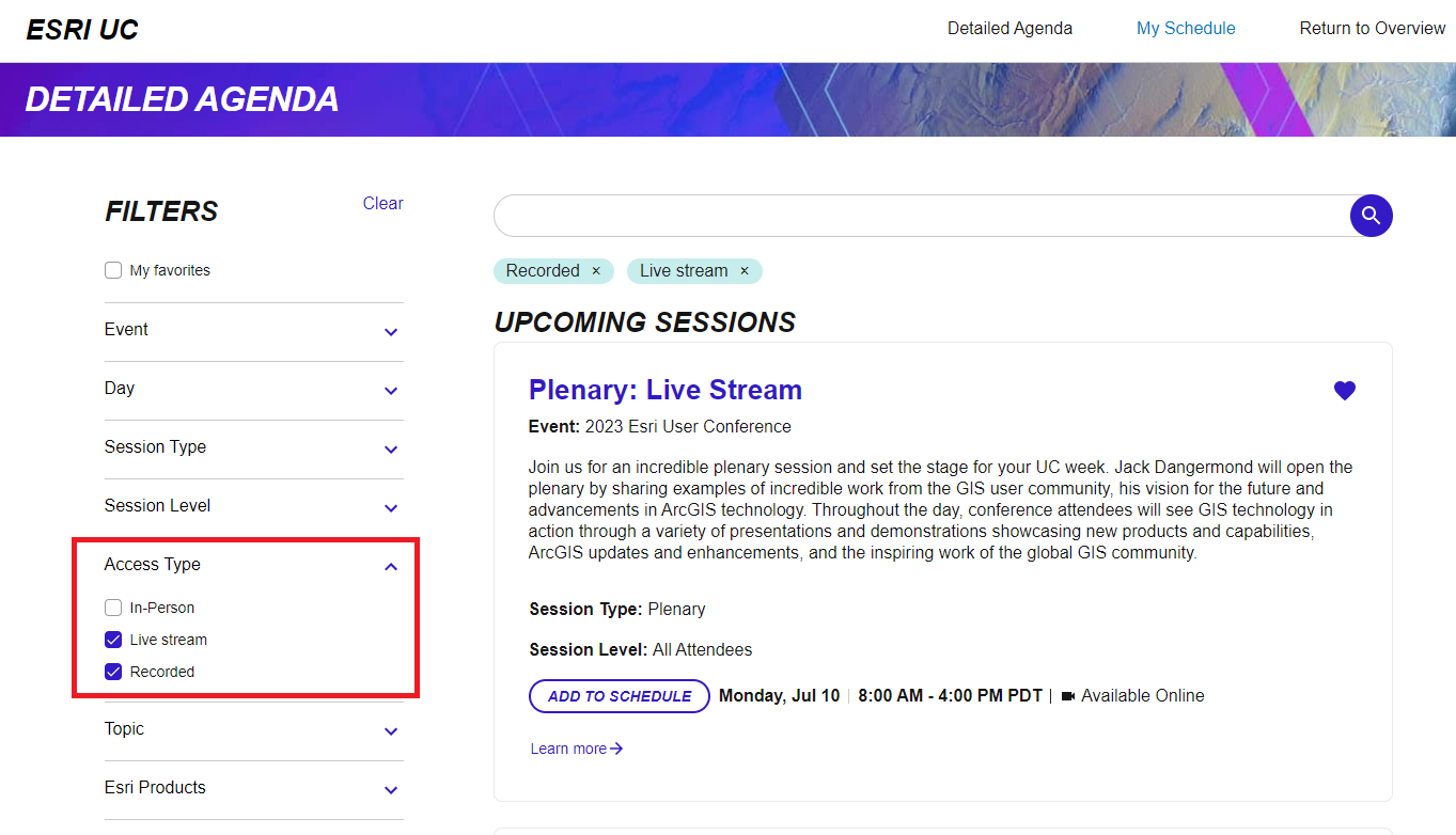
- The Detailed Agenda is now available – this may help with your training/travel justifications, as you can share which specific sessions you plan to attend.
- Sessions can be filtered for digital access in the agenda by using “Live Stream” or “Recorded” options below.
Map Gallery
- All map gallery submissions will be included in ESRI’s permanent online gallery, and the eGIS team has also reserved 8 physical panels in the in-person map gallery.
- If you are interested in submitting a map, please review Esri’s call for maps, which includes submission requirements, categories, award opportunities, and setup instructions.
- As mentioned in the User Counsel meeting, WE NEED MAPS! Both online and print map submissions.
- GIS Managers, please work with your teams to claim a map gallery panel (located here) by Friday, April 28th.
- Please email maps in PDF format and indicate in your email if you are interested in displaying a physical poster or a digital submission by Friday, May 19th.
- Please put PDF submissions at this Teams location and message Shannon Julius or Juan Cardenas, regarding if it should be considered for digital only or print and digital.
- Map submissions will be reviewed and checked for minor fixes between May 22-23.
- Map owners will have the between May 24th – June 1st to make final changes to their submission.
- Map owners must submit their maps online by Thursday, June 1st.
- For maps that are for print display, departments are responsible for printing, transport to the conference, and setup of posters on the boards by Monday, July 10 at noon. eGIS does provide large format printing service at a fee outlined on last page of the Service Level Agreement.
- We will discuss these map gallery details and ask for volunteers to participate during the Users Council and ArcGIS Online User Group meetings.
Plenary images
- As per tradition, Jack Dangermond will be presenting images during his plenary speech. You can submit up to three images of your best work by Thursday, June 1. Those chosen will receive a certificate via email in September.
- Please review the details and submit at the call for images online page.
- There will be no selection committee for this process, but if you do choose submit, please let your department GIS lead and us in eGIS know – we would love to be on the lookout for your images during the plenary!
If you have any questions or concerns please feel free to reach out – jcardenas@isd.lacounty.gov